For architects · engineers · developers · public administration
The complete as-built survey, without a second site visit.
One single field documentation → point cloud, BIM model, floor plans, facades and sections. The single digital base of your building, accurate to ±2 cm at 10 m.
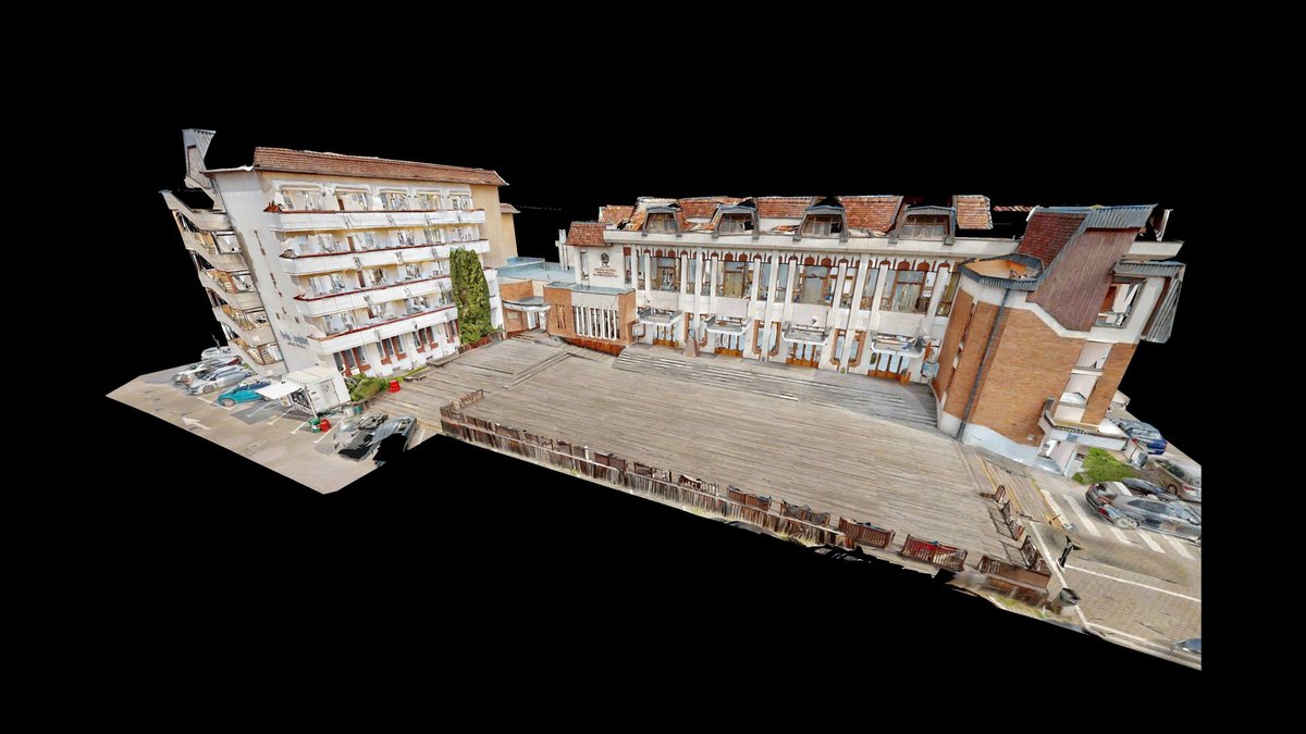
⊢ The same building, from reality to drawing — click any stage ⊣
The technical services, explained simply
We don't describe the deliverables. We hand them over for you to explore.
Every service has an "explore" button — you step into the real model, not into a slide deck.
3D SCANNING · LiDAR
SERVICE 01
3D LiDAR scanning & point cloud
For: architects · engineers · design offices
We scan the building inside and out and obtain the colorized point cloud — the faithful metric copy of reality. From it you measure anything, at any time, without going back to the site.
Measure distances, areas and heights straight from the browser
The whole team sees the same space, from different offices
Maximum error ±2 cm at 10 m — checked and validated
We rebuild the walls, slabs, openings and structural elements from the point cloud into an intelligent BIM model. You design on reality, not on old drawings that no longer match it.
Compatible with Revit, ArchiCAD, AutoCAD — your workflow, not ours
−70% cost of creating the BIM files compared to classic methods
One single base for architecture, structure and MEP
From the digital base we extract exactly the drawings the project needs: floor plans for every level, facades with axes, dimensions and heights, characteristic sections and roof plans — drawn, checked and ready to go into the documentation.
59,000+ m² already processed into surveys and facades
Real dimensions from the scan — not on-site approximations
Ideal for heritage buildings, where every detail counts
We plan and fly photogrammetric missions with an RTK drone, then process the imagery into 3D models with centimetre accuracy and georeferenced orthophotos — the perfect aerial complement to ground scanning.
Roofs and tall facades documented without scaffolding
Georeferenced orthophoto for the site plan
Complete exterior 3D model of the building and the land
georeferenced orthophotocentimetre-accurate 3D modelonline viewer
extract them from the cloud, anytime, from the office
Total survey cost
reference
up to −70% lower
Frequently asked questions
What architects ask us
What is Scan-to-BIM?
The process in which the existing building is laser scanned (LiDAR) and the point cloud is turned into an intelligent BIM model, compatible with Revit, ArchiCAD or AutoCAD, that you design on directly.
How long does it take to digitize a building?
On-site scanning takes between one day and about a week, depending on the area and complexity of the building. Processing, BIM modelling and extracting the drawings take from a few days to a few weeks — the exact deadline is stated in the quote, before we start.
Can I import the point cloud into my software?
Yes — we deliver E57, XYZ and RCP/RCS, standard formats for Revit, ArchiCAD, AutoCAD, ReCap, 3ds Max and most 3D design software.
Do you work on historical monuments?
Yes — it is the specialty that won us the first of our three Digital Twin Awards: 2023 (Historical preservation — Turkish Bath, Iași), followed by 2024 (Best tour — St. Nicholas Parish, Bacău) and 2025 (Education — IEEIA Faculty, Iași). High-fidelity documentation is essential in restoration, and our portfolio includes Miclăușeni Castle and the Vatra Dornei Casino.
Do you have a refurbishment or restoration project?
Send us the address of the building and the deliverables you need — you get the detailed quote within a maximum of 48 hours.